Canyonlands National Park
Canyonlands is a wilderness of canyons, buttes, and spires carved by the Colorado River and Green River. The park is divided into four distinct districts; no roads join them together. The districts share similar desert ecosystems, but each one provides unique opportunities for adventure and discovery.
Map showing location of park.

Fire Restrictions Rescinded in Southeast Utah Group Parks
Due to lower temperatures accompanied by higher humidity, fire danger has moderated across southeastern Utah. Beginning at 12:01 a.m. Friday, September 4, Arches and Canyonlands national parks, along with Natural Bridges and Hovenweep national monuments, will rescind fire restrictions.
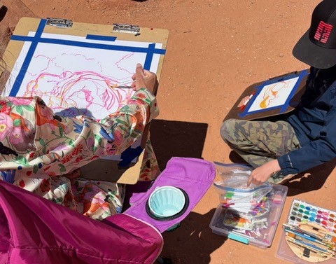
Call for 2027 Community Artist in the Parks
The Southeast Utah Group of parks will accept applications for the 2027 Community Artist in the Parks (CAIP) program September 1 to September 30, 2026.

Canyonlands National Park Seeks Public Assistance in Locating Missing Hiker
The National Park Service is asking for the public’s help in locating Patrick J. Trier, a 71-year-old white male who was last seen in Salina, Utah, on Sunday, August 16.
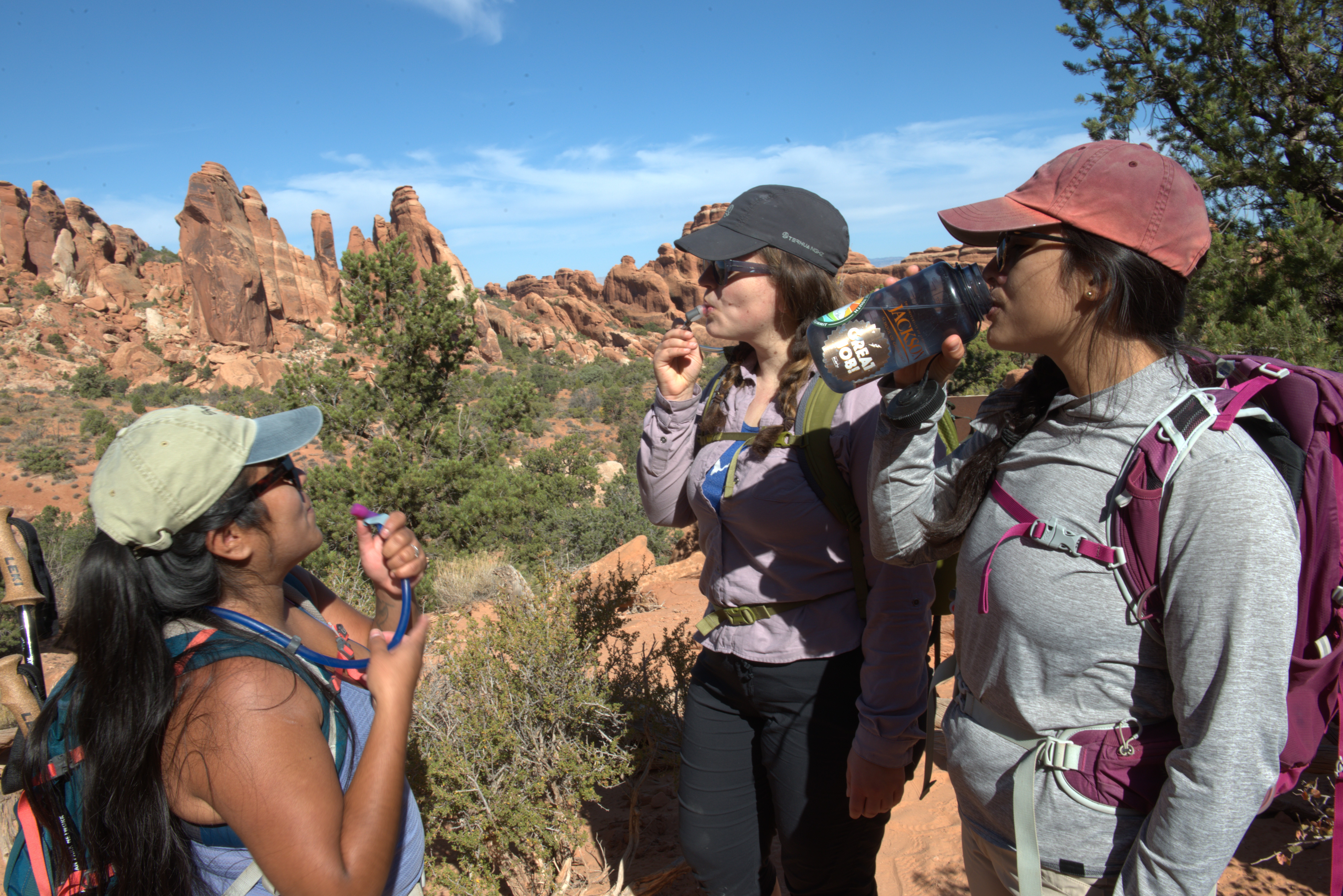
Arches and Canyonlands Urge Visitors to Take Precautions During Extreme Heat
As high temperatures continue, Arches and Canyonlands national parks urge visitors to prepare for extreme heat during summer visits.
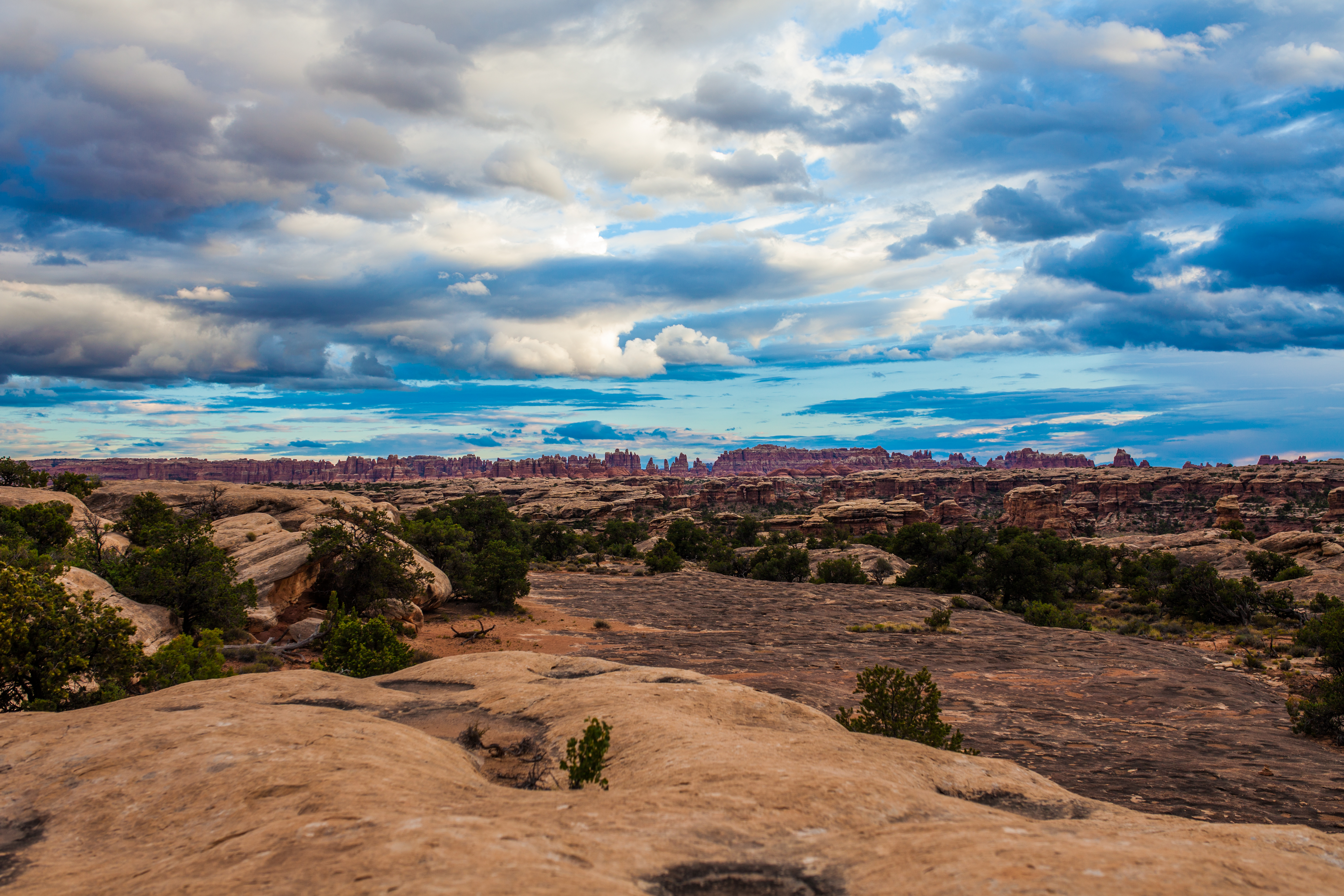
The National Park Service and Interagency Partners begin reopening public lands impacted by the Babylon Fire to support community access and safety
Starting today, Friday, July 17, UT 211 will be open to the Canyonlands National Park boundary (The Needles district entrance). Monticello Field Office of Bureau of Land Management Lands north of UT 211 will also be reopened.
Photo by NPS/Rhodes Smartt
Photo by NPS/Neal Herbert
Photo by NPS/Neal Herbert
Photo by NPS/Rhodes Smartt
Photo by NPS/Neal Herbert
Photo by NPS/Neal Herbert
Photo by NPS/Neal Herbert