Grand Canyon National Park
Entirely within the state of Arizona, the park encompasses 278 miles (447 km) of the Colorado River and adjacent uplands. Located on the ancestral homelands of 11 present day Tribal Communities, Grand Canyon is one of the most spectacular examples of erosion anywhere in the world—a mile deep canyon unmatched in the incomparable vistas it offers visitors from both north and south rims.
Map showing location of park.
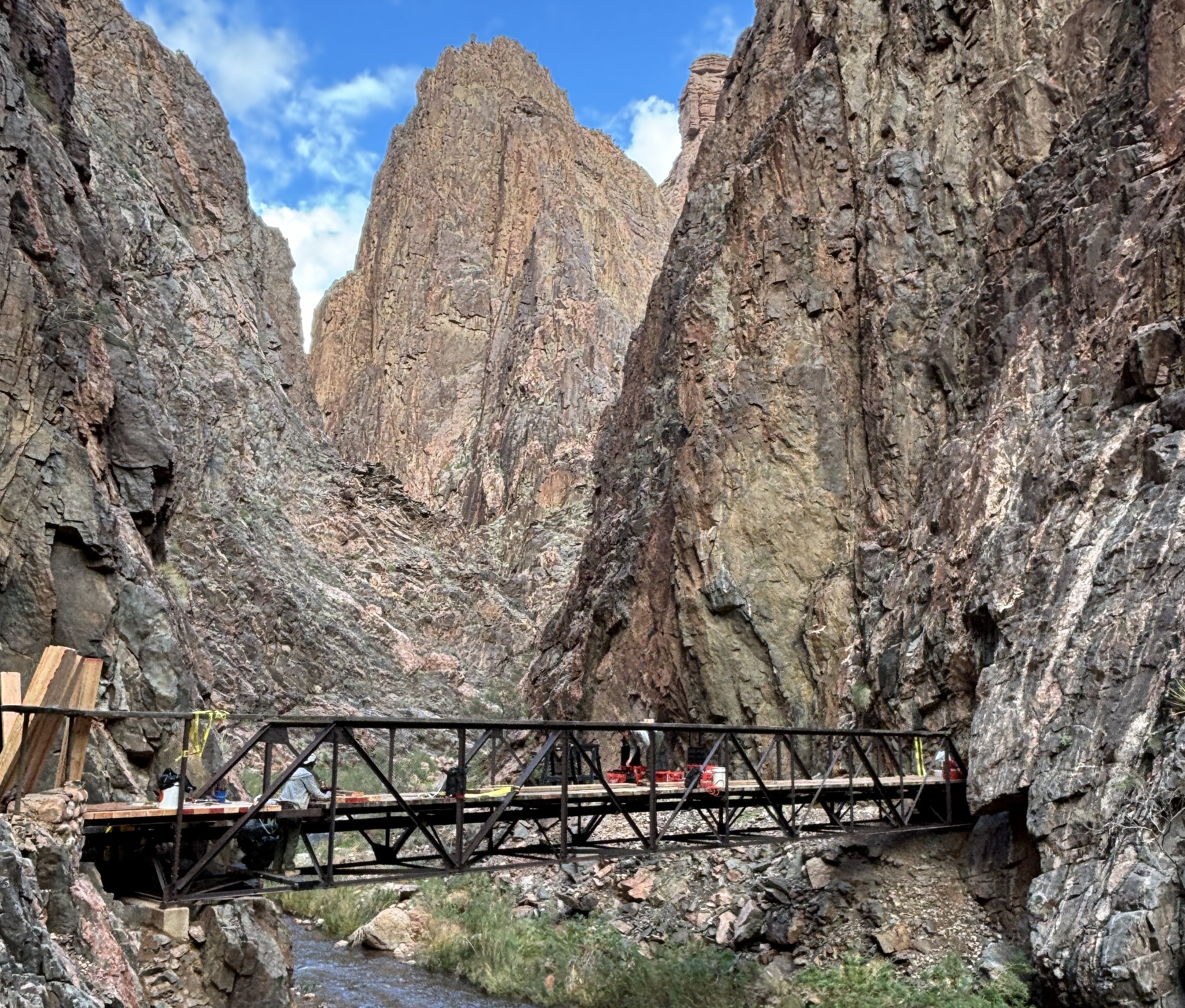
Lower North Kaibab Trail Reopens March 4 Following Dragon Bravo Fire; Additional Areas Reopen in Kaibab National Forest
Grand Canyon National Park will reopen a portion of the North Kaibab Trail on Wednesday, March 4, 2026, marking an important step toward restoring inner canyon trail access following the Dragon Bravo Fire. Accessed from Phantom Ranch, the North Kaibab Trail from the Clear Creek Trail Junction to the Ribbon Falls junction will reopen to public use. The North Kaibab Trail has remained closed since July 13, 2025, to allow for post-fire assessments, safety planning, and trail maintenance.
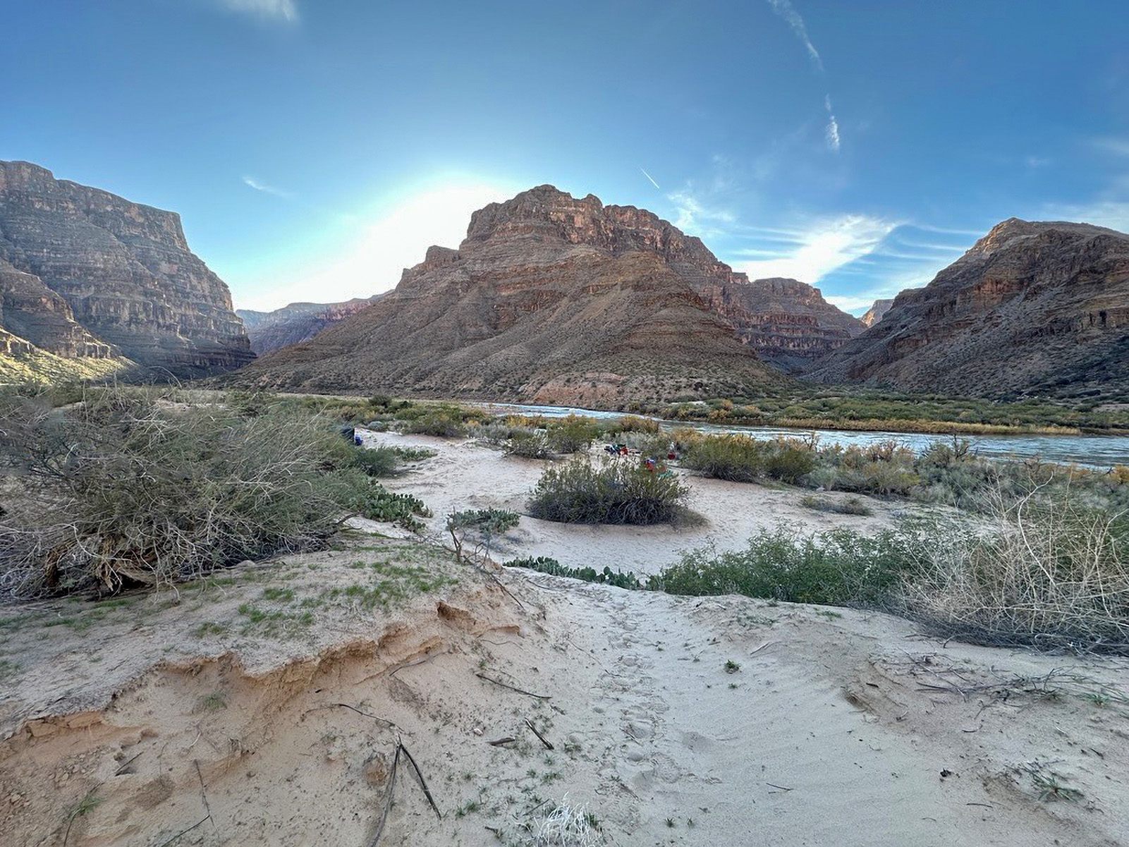
Grand Canyon National Park Announces 2027 Noncommercial River Trip Lottery Period
On Monday, Feb. 2, 2026, the National Park Service will begin accepting applications for noncommercial river trip permits to raft the Colorado River through Grand Canyon National Park for specific launch dates within calendar year 2027. A total of 478 permits will be available for 12- to 25-day river trips.
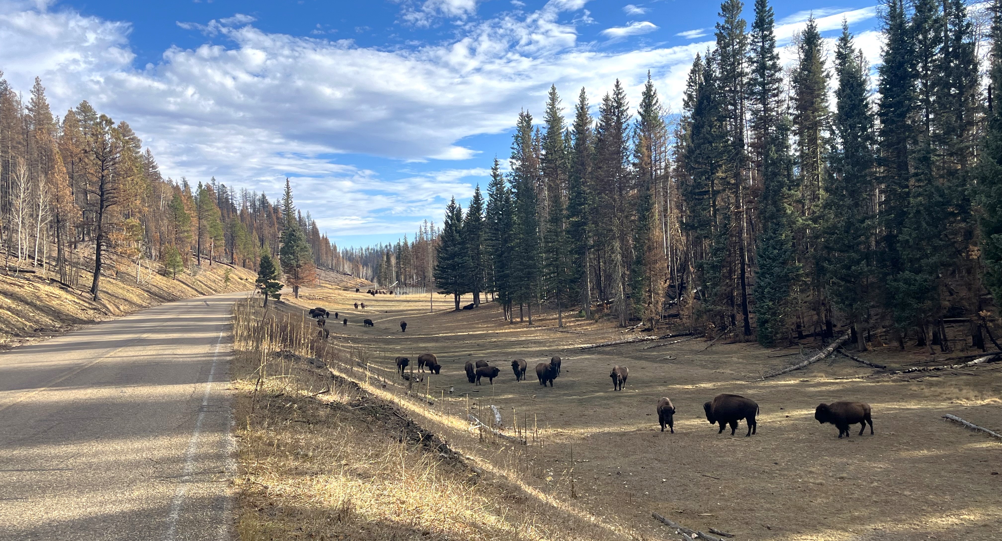
Grand Canyon National Park plans adaptive reopening of North Rim in summer 2026
Grand Canyon National Park is preparing an adaptive approach for the seasonal reopening of the North Rim, evaluating potential impacts from winter weather to park infrastructure after the Dragon Bravo Fire. The park aims to open popular points of interest, including the North Kaibab Trail, on May 15, weather and conditions permitting.
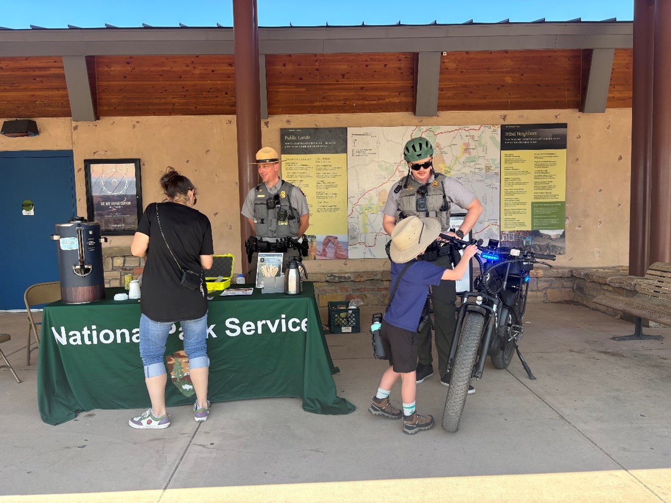
Grand Canyon National Park Receives Highway Safety Grant Funding
Grand Canyon National Park has received grant funding from the Arizona Governor’s Office of Highway Safety (GOHS) through the National Highway Traffic Safety Administration (NHTSA) to support pedestrian and bicycle safety, speed enforcement and impaired driving prevention. The funding helps park rangers purchase equipment, conduct high-visibility traffic enforcement and participate in community outreach aimed at reducing crashes, injuries and fatalities on park roadways.
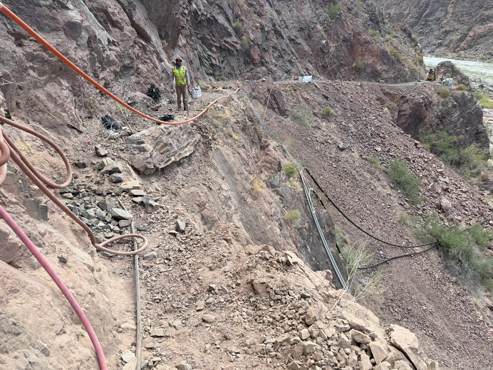
Grand Canyon National Park announces updates to construction schedule for 2026
Grand Canyon National Park is announcing Transcanyon Waterline (TCWL) construction closure-related work for 2026. Rockfalls occurred along a section of the River Trail in August, causing a 50-foot section of the trail to collapse and triggered the need for additional assessments and work to rebuild the trail.
Photo by NPS/M.Quinn
Photo by NPS/M.Quinn
Photo by NPS/M.Quinn